Deployment areas and challenges
From Self-Organization Wiki
Group 1
What are the main civil applications?
- survaillance
- broadcasting
- inspection
- agricultural and habitat monitoring
- documentation
- incident sites for insurances
- complement remote sensing
- drone follow me every day
1.5 UAVs:
- heterogenous types of devices. car&uav. spider&uav.
- helping steering.
- combine indoor and outdoor exploration
multi UAV:
- distributed view
- different views of a site
- weather measurements / weather forecast / local and global view
- different grid size measurements
- basic infrastructure distribute device
- drop devices somewhere
- cannot be accessed, hazardous environments, leakage of gas.
- access area which is not accessable otherwise
Very few existing applications?
- survaillance
- military use
- fixed wing photogrametry
- MULTI UAV: Art installations: ARS electronica (100 UAVs), like a firework, 3D screen
- parallel operation from sky to earth ( rope from cranes to lift objects)
What are the challenges in deploying an autonomous multi-UAV system in real-world?
- reliability
- system complexity
- flying close, positioning
- spacial and temporal callibration
- control via visual inputs only
- legal issues
- scalability in reality (large number of devices)
- how to know the local situation. how can all the others know the situation
- aerodynamics on small dynamics. playload is the same but devices become smaller
- reducing size reduces risks on fall outs
What can the researchers and engineers do to improve public perception on UAVs?
- have systems ready when we need them - rescue and help situations.
- PR use good wording, difficulty in communication
- infra-camera used to detact small deers in the gras when harvesting
- deliver before you communicate
- address public interests where is need: aid firefighters in wood fires (know wind changes), finding lost mountaineers, traffic survaillance.
- Arts
- Multiple views for Movies
- interactive 3D movies, viewer can choose view point in movie
- multi-actor within gaming?
Group 2
Main civil application
- Features: time critical, large scale, dynamic, 'time-synchronous'-observation application
- City maps
- Disaster management
- Reconnaissance
- 3D reconstruction
- Surveillance
- Search-and-rescue
- Structural health monitoring
- Filming with multiple flying cameras and different payload sensors
- Transportation of medicine
- Infrastructure setup networks
Existing case studies, application
- Disaster management
- Drone adventures
- Matternet
- Area logistics
- Google & WWF
- several EU projects: Arcas - cooperative aerial assembly
- Global Hawk from NASA to chase tornado
Challenges in deployment in real-world
- Coordinated sensing
- Coordinated planning
- Time synchronization
- Environment conditions
- Establishing a reliable communication system
- Business case
- Substantial amount of autonomy
- Safety
- Power management
- Sense-and-avoid
What can researchers do to improve public perception of UAVs?
- Raise awareness: what are the real benefits of the systems?
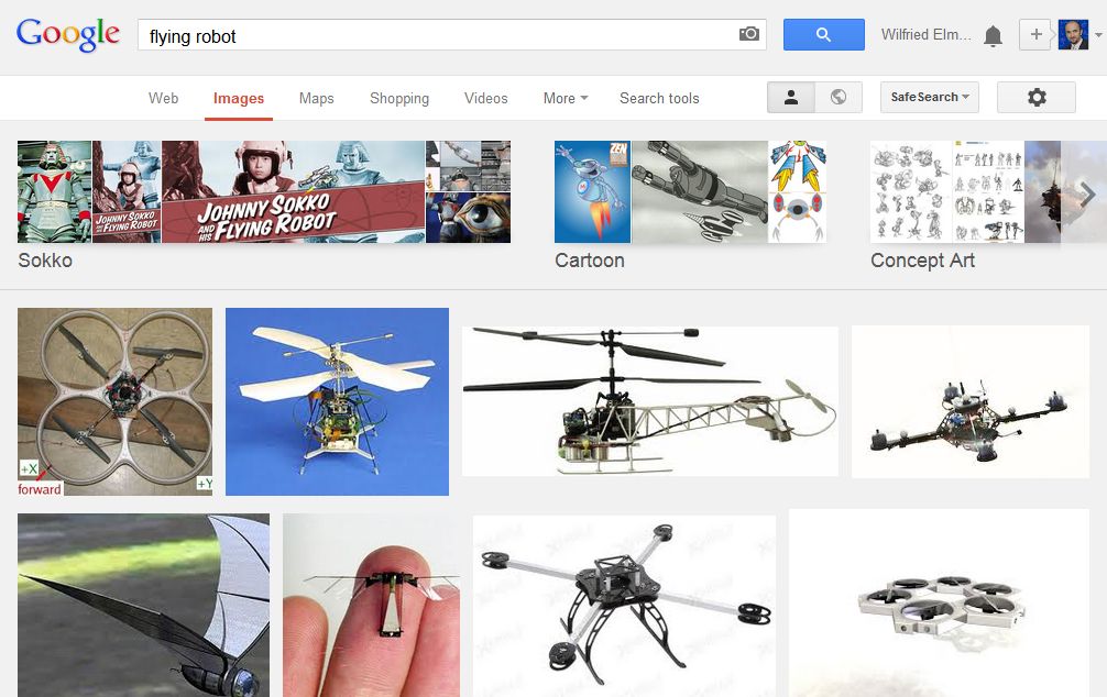
- Naming it differently - not "drone" but "flying robot" (= it is a system serving you)
- Positive press coverage
- Public awareness events
- Applications for society (e.g. Haiti)
- Ars electronica demonstration
Group 3
Ashutosh Natraj, Alexander Almer, Christian Briese, Hariom Dhungana, Torsten Andre, Hermann de Meer, Wilfried Elmenreich
What are the main non-military applications?
- inspection (e.g., photovoltaic systems, wind turbines, rural areas)
- search/search and rescue operations
- mapping (e.g., 3D reconstruction of cities, construction sites)
- documentation (e.g., archeaological sites, construction work)
- monitoring (e.g., forest fire, wildlife, animal observation)
- video and photography
- surveillance
- toy business
- transportation of goods
- aspects
- indoor/outdoor
- single/multi UAVs
- static/dynamic applications
Existing case studies, applications
- Skyeye environmental monitoring
- Sensefly animal observation, disaster management
- ddp energy Thermography inspection of solar modules
- Matternet Transportation using a network of UAVs
- Metropolitan Manila Development Authority (MMDA) drones to monitor traffic
What are the challenges in deploying an autonomous multi-UAV system in real-world
- availablity of stable, reliable UAVs
- communication
- synchronization, proper real-time operating system for sensors, clock synchronization, low-jitter communication
- power (management, batteries, efficiency, recharging)
- legal issues, licensing
- social acceptance
- privacy
- safety
- security (theft of drones, manipulation, recovery of lost drones)
What can the researchers and engineers do to improve public perception of UAVs
- publishing - talk about it
- public awareness for civil UAV applications
- Drones in Science
- more media coverage on non-horror stories
- school competitions
- drones in private/civil use
- toys (high level)
- household applications (e.g., rooftop inspection)
- rural area application (sheep counting, sheparding)
- develop methods which preserve privacy
- keep actual images onboard and delete them after data extraction
- see Privacy and Security in Video Surveillance
- form interest group
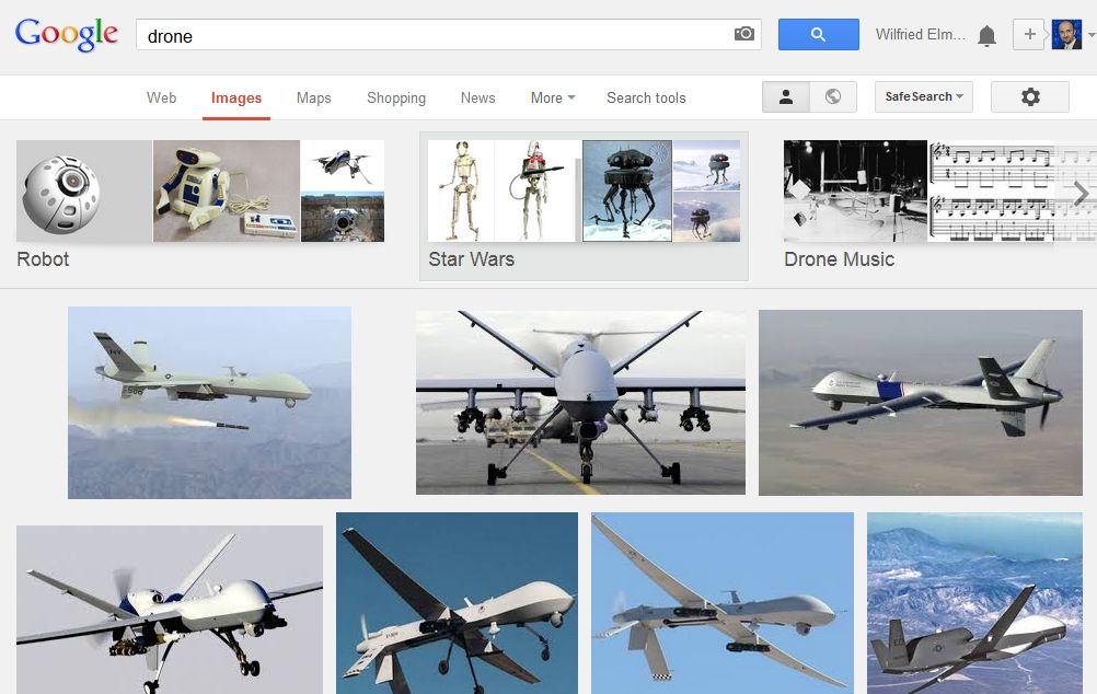
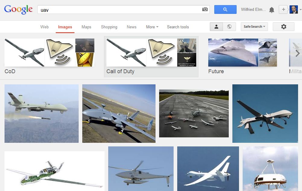
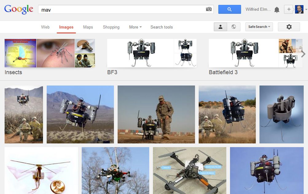
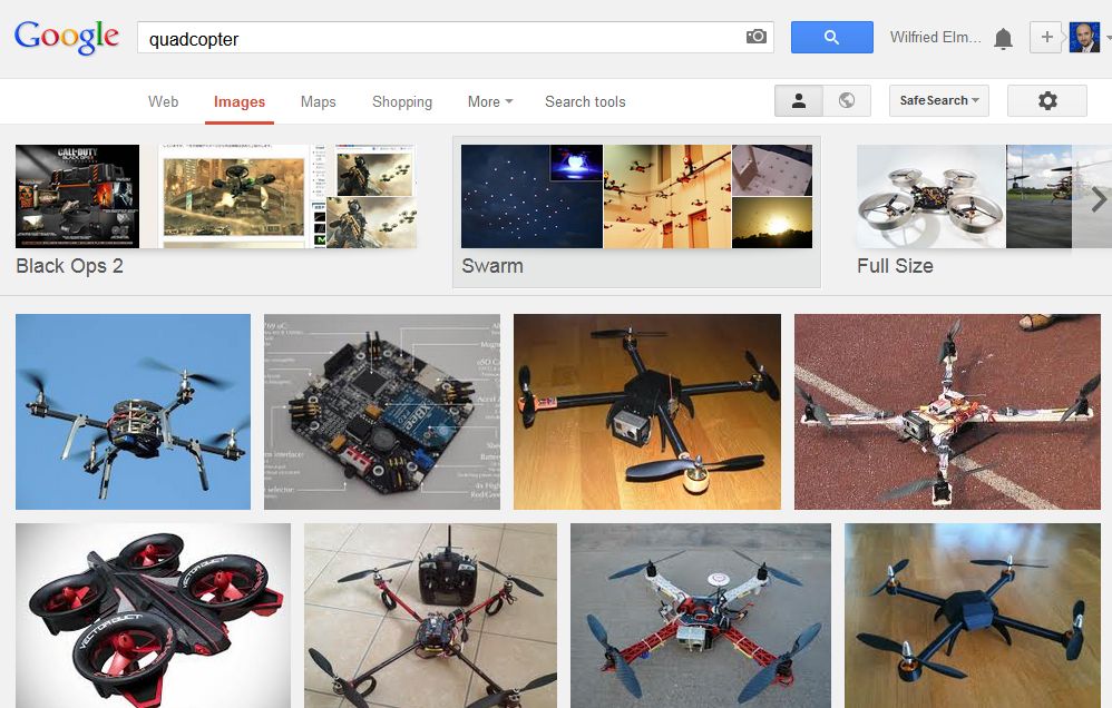
Example: Image results from Google for keywords drone, uav, mav, quadcopter:
